
“We are contemporary artists. We make art installations, and plant fruit trees in public space for everyone to share. We invite you to experience your City as a fruitful place, to radically shift public participation and the function of urban spaces, and to explore the meaning of community through creating and sharing new and abundant resources – like Fruit Trees.”
– David Allen Burns & Austin Young / Fallen Fruit.
Recent Posts
- Public Fruit Tree Adoption! April 18, Los Angeles State Historic Park.
 PUBLIC FRUIT TREE ADOPTION What if you could walk outside… Read more: Public Fruit Tree Adoption! April 18, Los Angeles State Historic Park.
 - USA TODAY: VOTE FOR FALLEN FRUIT!!
 🐝💥 We’re sitting at #3!! Vote daily for The Power… Read more: USA TODAY: VOTE FOR FALLEN FRUIT!!
 - BEMIS!
 EXHIBITION Benefit Art Auction Exhibition October 10, 2025–October 24, 2025… Read more: BEMIS!
 - SUPERSHOW – by Fallen Fruit at PDC Gallery
 a PDF book about the commissioned artwork SUPERSHOW by David… Read more: SUPERSHOW – by Fallen Fruit at PDC Gallery
 - Paradise Lost
 The new site specific artwork “Paradise Lost” by artists David… Read more: Paradise Lost
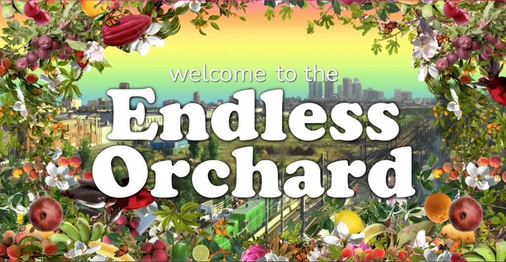
The Endless Orchard
“Our cities can be like communal gardens. What if instead of going to the grocery store for an apple, you just walked outside your door?”
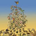
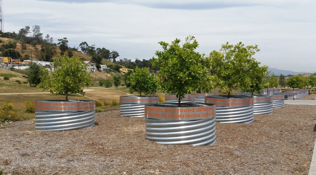
The ENDLESS ORCHARD is the largest collaborative public artwork in the world. Anyone anywhere can PLANT, MAP, AND SHARE FRUIT! It’s a movement of citizens transforming their own neighborhoods. Fruit is a transcultural symbol of sharing and neighbors can plant fruit trees in front of their homes, community centers, schools, businesses, on the margins of public and private space and interstitial municipal spaces like parkways, bike paths and alleys.
The ENDLESS ORCHARD (endlessorchard.com) is free to use. Anyone, anywhere, can plant a fruit tree along a property’s publicly accessible margins and map it. With each new tree, the orchard grows larger and is shared with more people. Participants can map accessible fruit trees that already exist in neighborhoods, or plant trees in collaboration with cities in public spaces and parks.
*The Endless Orchard is an artwork by David Allen Burns and Austin Young / Fallen Fruit. It our Creative Capital awarded project and the website is designed and developed in partnership with Code Rodeo.
About
David Allen Burns and Austin Young / Fallen Fruit.
By re-imagining public space, we aim to make fresh fruit available to everyone, everywhere. We make public projects, site-specific installations and happenings around the world.